
The Complete Guide to Drone Agriculture Mapping
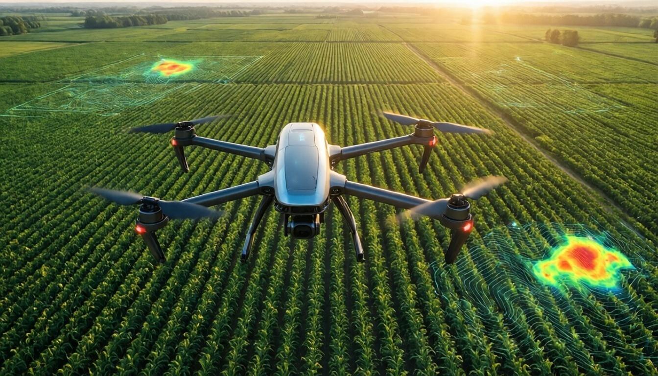
In recent years, agriculture has undergone a significant transformation, largely propelled by advancements in technology. One of the most revolutionary innovations making waves in the agricultural industry is drone technology. At Aeroyantra Technologies Private Limited, we specialize in utilizing drones for agricultural purposes, offering groundbreaking solutions that improve efficiency and productivity. This blog will provide a comprehensive guide to drone agriculture mapping, detailing how it works, its benefits, and why your farm should embrace this technological advancement.
What is Drone Agriculture Mapping?
Drone agriculture mapping refers to the process of using unmanned aerial vehicles (UAVs) equipped with specialized cameras and sensors to collect data about agricultural land. This data can be used to create detailed maps that help farmers monitor crop health, assess soil conditions, and optimize their farming practices.
The technology has made it easier to gather essential information from large tracts of land that would otherwise require extensive manual labor and time-consuming methods. With the ability to analyze data quickly and accurately, drone agricultural mapping has become an invaluable tool in modern farming.
How Does Drone Agriculture Mapping Work?
1. Drone Selection and Preparation
The initial stage of drone agriculture mapping involves selecting the appropriate drone for the specific survey. Drones can be equipped with various types of sensors, including multispectral, hyperspectral, and thermal sensors, each serving different functions. For instance, multispectral sensors capture data across different wavelengths, allowing farmers to assess plant health accurately.
2. Flight Planning
Once the drone is selected, the next step is to plan the flight path. Using specialized software, operators can create a flight plan that ensures comprehensive coverage of the designated area, considering factors such as altitude, speed, and overlap between images for seamless mapping.
3. Data Collection
During the flight, the drone collects a vast amount of data through its cameras and sensors. This data is gathered in a series of overlapping images that, once processed, will create detailed maps reflecting various aspects of the agricultural land.
4. Data Processing and Analysis
After data collection, the raw data is processed using advanced software. This process involves stitching together individual images to create a comprehensive map. The software can also analyze the data to generate insights such as vegetation indices, soil moisture levels, and crop health status.
5. Reporting
The final stage involves generating reports based on the analyzed data. These reports provide farmers with actionable insights that can guide their decision-making processes, from crop management to resource allocation.
Benefits of Drone Agriculture Mapping
Drone agriculture mapping offers numerous advantages, making it a vital tool for modern farmers.
1. Enhanced Precision Farming
With the ability to collect data at a high resolution, drone agriculture mapping enables precision farming practices. Farmers can identify variations in crop health across their fields and apply targeted treatments, such as fertilizers and pesticides, only where needed.
2. Cost Efficiency
By streamlining data collection and analysis, drones reduce the manpower and resources required for traditional surveying methods. This leads to long-term cost savings for farmers while improving operational efficiency.
3. Time Savings
Drones can cover vast areas in minutes, drastically reducing the time it takes to gather field data. This allows farmers to make timely decisions based on real-time information, ensuring optimal crop management throughout the growing season.
4. Improved Crop Monitoring
With regular drone surveys, farmers can monitor crop health over time, identifying any issues early on. This ongoing assessment helps prevent losses and ensures the health of the entire crop harvest.
5. Environmental Sustainability
By using precision agriculture techniques enabled by drone mapping, farmers can minimize chemical use, reduce waste, and promote sustainable practices. This approach not only benefits the environment but also improves the quality of produce.
Applications of Drone Agriculture Mapping
Drone agriculture mapping is versatile in its applications. Here are some of the key areas where it can be employed:
- Crop Health Monitoring: Assessing the vitality of crops using NDVI (Normalized Difference Vegetation Index) and other metrics to ensure optimal growth.
- Soil Analysis: Evaluating soil conditions to inform irrigation and fertilization practices.
- Field Surveying: Collecting data for topographical maps that can aid in land development and planning.
- Irrigation Management: Identifying areas of over- or under-watering based on thermal imagery.
- Yield Prediction: Providing insights that help in forecasting crop yields based on current health conditions.
FAQs About Drone Agriculture Mapping
Q1: What types of crops can benefit from drone agriculture mapping?
A1: Almost any crop can benefit from drone agriculture mapping, including grains, vegetables, fruits, and more. The technology is adaptable to different farming practices, allowing for a wide range of applications.
Q2: How often should I conduct drone surveys on my farm?
A2: The frequency of drone surveys can depend on various factors, including crop type, growth stage, and environmental conditions. Generally, conducting surveys every two to four weeks during the growing season is recommended for optimal results.
Q3: Is drone agriculture mapping suitable for small-scale farms?
A3: Yes, drone agriculture mapping is beneficial for farms of all sizes. Small-scale farmers can access the technology through service providers to gain valuable insights without needing to own a drone.
Q4: What equipment do I need for drone agriculture mapping?
A4: Essential equipment includes a drone with high-quality cameras and sensors, flight planning software, and data processing software. Many service providers, including Aeroyantra Technologies, offer drones and services tailored to your specific farming needs.
Q5: Are there any regulations regarding drone usage in agriculture?
A5: Yes, drone usage is subject to regulations that vary by country and region. Farmers should ensure they comply with local laws concerning drone operation, including obtaining necessary permits if required.
Conclusion
As the agricultural industry continues to evolve, adopting innovative technologies like drone agriculture mapping is essential for success. At Aeroyantra Technologies Private Limited, we are committed to providing top-notch drone services that empower farmers to leverage the full potential of their land. By embracing drone technology, farmers can enhance productivity, optimize resource use, and contribute to sustainable agricultural practices.
For more information about our services, please visit our website at Aeroyantra Technologies Private Limited or contact us at +91 6362146920. Let’s take your farming practices to the next level with drone agriculture mapping!

 Polish
 English
 Arabic
 French
 Spanish
 Portuguese
 Deutsch
 Turkish
 Dutch
Dutch
 Russian
 Romaian
 Portuguese (Brazil)
 Greek
Greek